

Quick Answer


In general, the west coast portion of the NC500 is the most impressive. Specifically the stretch between Kylesku and Torridon was my personal favourite, but the entire route is just stunning.
Because of this, I always recommend people to drive the route counter clockwise, so that you are ending with the west coast which has some of the best landscapes out the windshield and the most impressive stops along the entire route.
Where To Stay Along The NC500 (2026 Guide)
Click here for discounts and booking tips!What Is The NC500?

The NC500 is an iconic road trip in Scotland that starts and ends in Inverness. The route loops roughly 500 miles (800 km) around the north coast of the Scottish Highlands, passing through mountain passes, fishing villages, white sand beaches, and some of the most stunning landscapes in the UK. It was officially launched in 2015 to bring visitors to the region, and it has since become one of the most popular driving routes in the country. I would advise driving it counterclockwise, heading up the east coast first and finishing along the west.
The drive itself is half the reason people flock to this route, but the castles, cliffs, caves, and cafes along the way are the real selling point for me. Clifftop ruins above the North Sea, sea caves you can walk into, and tiny roadside cafes where a bowl of soup and a view are the whole experience. Some of the best stops are not even on the official map, so leave room in your schedule for unplanned detours.
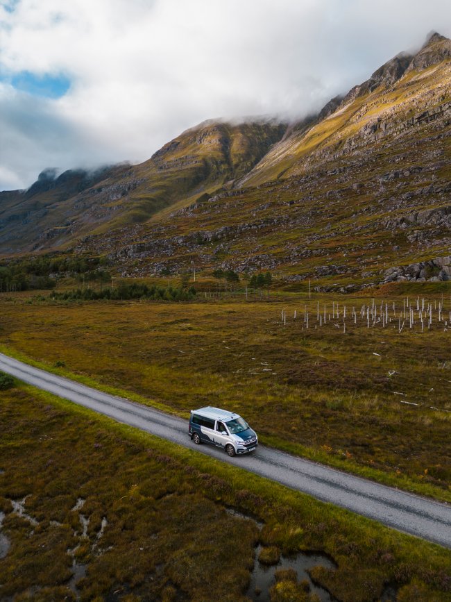
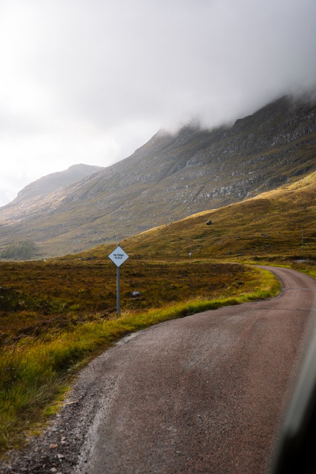
The roads are beautiful but narrow and can be quite difficult to drive. Much of the route is single track, meaning one lane with small pull-offs called passing places, and you are expected to pull in and wait to let oncoming traffic through.
Add in sheep on the road, blind crests, steep climbs like the Bealach na Bà, and the occasional oversized campervan, and it demands your full attention. If you are not used to driving on the left, or you are renting a manual, factor that learning curve in. Give yourself more time than the map suggests, since 500 miles here does not move like 500 miles anywhere else. Most people take five to seven days, and I would not go any faster than that.
The East Coast: Inverness to John o' Groats


This is the first leg of the journey, and although it is beautiful, it doesn’t have the same epic scale as what is to come. You are mostly driving through farmland, rolling coastal hills, and cute little towns. It has its own charm for sure, but it is a quaint kind of beauty rather than a jaw-dropping one.
That makes it a good warm-up for the roads ahead. The driving is easier here, with wider roads and less single-track, so it is a gentle way to get comfortable behind the wheel before the narrow stretches start. It is also where you will find most of the larger towns and supermarkets on the route, so it is a good place to stock up on groceries and fuel.
The highlights here are the roadside stops. Dunrobin Castle, Whaligoe Steps, and Duncansby Stacks are what stood out to me.
Dunrobin Castle is a fairytale-style castle near Golspie, with turrets and formal gardens overlooking the North Sea. It is one of the most photogenic castles on the route and an easy stop to fit in on your first day.
Whaligoe Steps is a long staircase carved into the cliffs that leads down to a tiny, sheltered harbour. It was once used by fisherwomen carrying heavy loads of herring up the cliff, and the view from the bottom is worth the climb back up.
Duncansby Stacks are dramatic sea stacks near Duncansby Head, just past John o’ Groats. It is a short walk from the lighthouse car park, and the cliffs are full of seabirds in the early summer.
If you are short on time, this is the leg to move through a little faster. Pick one or two of these stops and save your extra hours for the west coast.
The North Coast: John o' Groats to Durness


Things start to turn up a notch along the northernmost coast. This stretch is where you will find some of the most stunning cliffs and white sand beaches on the whole route. The landscape opens up, the towns get smaller and further apart, and the road starts to feel properly remote. This is also where the single-track driving begins to show up more often, so settle in and give yourself plenty of time.
The beaches along the north coast are the highlight of this leg for me. Wide, empty stretches of pale sand, backed by dunes and grassy headlands, with water that turns a bright turquoise on a sunny day. You can often have an entire beach to yourself, even in summer. Just do not plan on swimming unless you are very brave, since the water is cold and the wind can be strong.
Here are a few stops worth knowing about:
- Dunnet Head is the northernmost point of mainland Britain, and it is a more dramatic stop than John o’ Groats. There are big sea cliffs, a lighthouse, and a lot of seabirds in early summer.
- Dunnet Bay is a long, sandy beach that makes an easy first beach stop on the north coast. It is a good one if you are looking for a casual walk and a break from driving.
- Strathy Point is a short drive down a side road to a lighthouse on a grassy headland. The cliffs are impressive, and it is a great spot for a quiet walk.
- Kyle of Tongue is where the scenery really starts to build, with a wide tidal inlet and mountains like Ben Hope and Ben Loyal in the distance. The causeway across the water is one of the prettiest drives on this leg.
- Smoo Cave, just outside Durness, is a huge sea cave you can walk into, with a waterfall that pours down inside. It is one of the busiest stops on the route, so go early if you can.
- Balnakeil Beach is a beautiful, wild stretch of sand near Durness, and a great place to end the day or watch the sunset. Pick up a hot chocolate from the cafe in the nearby craft village.
Because this leg has so many good beach and cliff stops, it is where the “pick one of everything” rule for a short trip hurts the most. If you have extra days to spare, this is a great place to slow down and soak it in.
The West Coast: Durness to Applecross


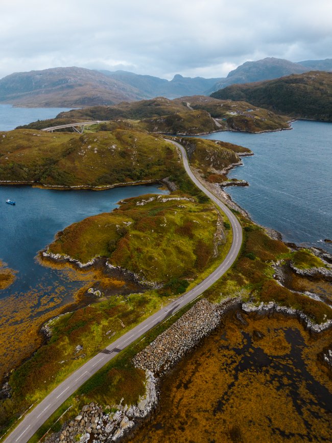
This is by far the most impressive leg of the journey. The road twists alongside sea lochs, climbs over moorland, and drops down to wild beaches, and almost every corner has a view worth pulling over for. It is also the most remote stretch, with the narrowest roads and the longest gaps between fuel stops, so fill up when you can and give yourself plenty of time.
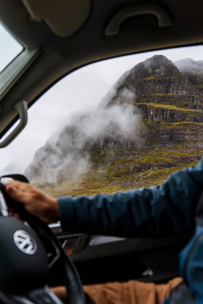
Towards the south end, you start getting into more mountainous terrain, with peaks like Stac Polaidh, Suilven, and Ben More Coigach rising straight out of the empty moorland. Further south, the huge mountains of Torridon, including Liathach and Beinn Eighe, are among the most dramatic on the entire route.
Here are the stops that stood out:
- Kylesku Bridge is a sweeping curved bridge over a sea loch, and one of the most photogenic spots on the drive. There is a car park with a great view, and it is a good place to stretch your legs.
- Achmelvich Beach is a small bay of white sand and bright turquoise water, tucked into the rocky coastline. It looks closer to the Caribbean than the Highlands on a sunny day, and it is busy in summer, so go early.
- The Old Man of Stoer is a sea stack on the coast near Lochinver, reached by a walk that takes you a few miles each way along the clifftops.
- Stac Polaidh is a short but steep loop hike with views over the lochs and mountains of Coigach. It is one of the most rewarding hikes on the route for the effort.
- Ullapool is the biggest town on the west coast and a good place to restock on groceries and fuel. It has a pretty harbour, plenty of cafes and pubs, and a good selection of places to eat.
- Torridon is where the mountains really take over, but the coast is what makes it stand out. Tucked right along the sea lochs, Shieldaig is a tiny village with a row of whitewashed cottages facing the water and a pine-covered island just offshore.
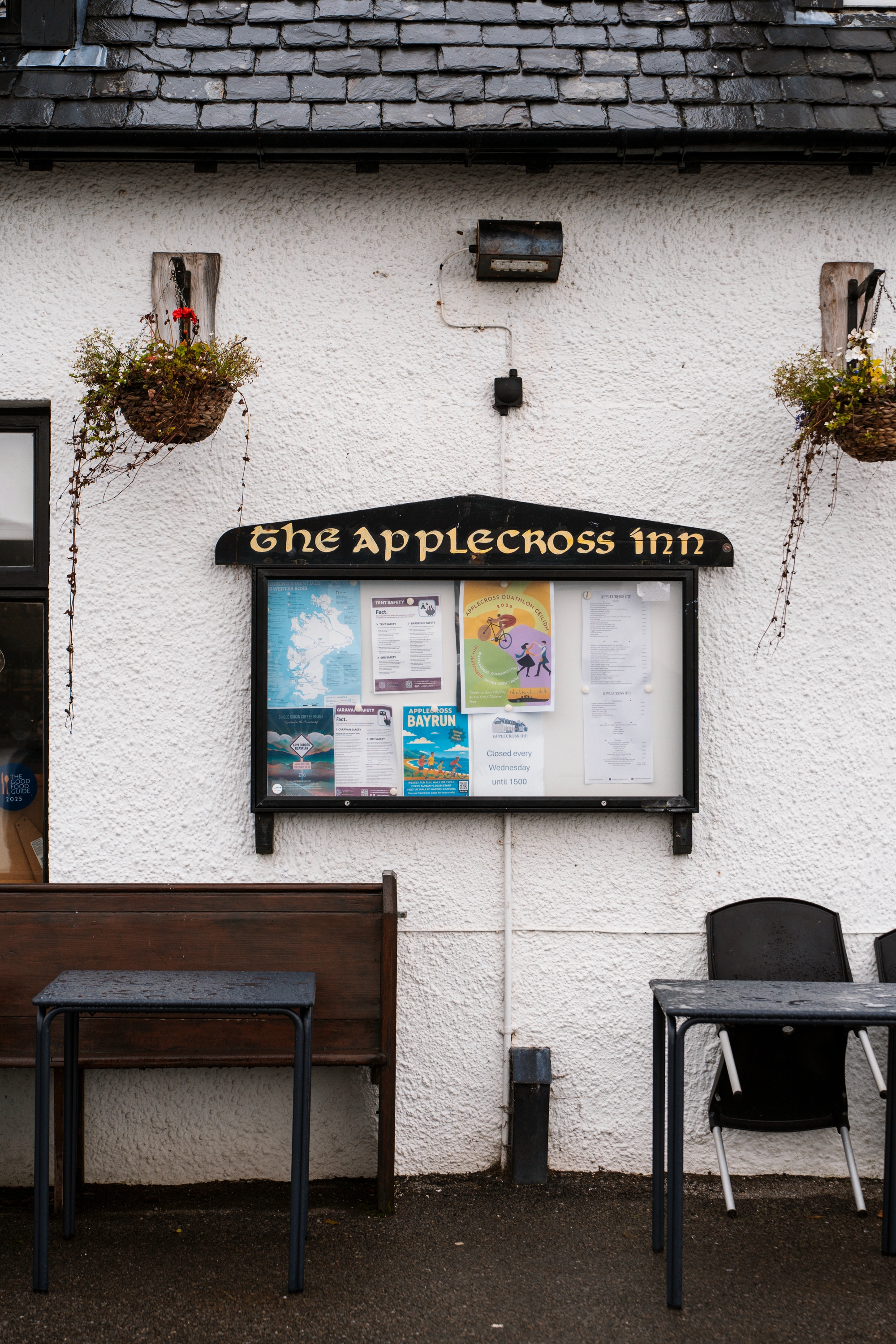
- Applecross is a quiet village at the end of this leg, and the Applecross Inn is a popular spot for seafood and a pint after a long day. The road out, the Bealach na Bà, is one of the highest and most dramatic mountain passes in the UK, so save your energy for it.
If you are short on time, this is the leg to prioritize. Pick your favourite stops here first and fill in the rest of your trip around them.
Final Thoughts

So, what is the most beautiful part of the NC500? The whole route is stunning, but the west coast is the clear standout. The mountains, sea lochs, and wild beaches between Durness and Applecross are the stretch I would prioritize if you are short on time. The north coast comes next, with its white sand beaches and dramatic cliffs, while the east coast is a gentler, quainter start to the trip, best enjoyed through a few well-chosen stops like Dunrobin Castle, Whaligoe Steps, and Duncansby Stacks.
That is also why I recommend driving the route counterclockwise. Heading up the east coast first and finishing down the west means the scenery builds as you go, and you end the trip on the best stretch rather than starting with it. Whichever direction you choose, leave plenty of time for the west coast, since that is where you will want to linger.
Once you know which legs you want to spend the most time on, the next step is picking your stops. Our NC500 stops guide covers the best castles, beaches, cliffs, and hikes along the route, including which ones are worth prioritizing. If you would rather have the days mapped out for you, our NC500 itinerary breaks the route into manageable driving days with stops, distances, and tips along the way.
FAQ
What is the most beautiful part of the NC500?
Which direction should you drive the NC500?
Is the east coast of the NC500 worth it?
What are the best stops on the north coast of the NC500?
What are the best stops on the west coast of the NC500?
Our Trusted Travel Partners
We only recommend products and services we personally use and trust.

SafetyWing
Travel medical insurance for nomads and remote workers
Booking.com
Find the best deals on hotels, apartments, and vacation rentals
AllTrails
Discover hiking trails with detailed maps and reviews
Surfshark
Secure VPN for safe browsing and accessing content worldwide
Get Your Guide
Find the best deals on tours and experiences
Airalo
Prepaid SIM cards for travelers
Trusted Housesitters
Find free accommodation by house and pet sitting worldwide
Wise
Send and receive money internationally with low fees* We may earn a commission when you make a purchase through our affiliate links, at no extra cost to you. We appreciate this support, which helps sustain our blog and allows us to create more content and help more great trips get planned!