

Before You Go

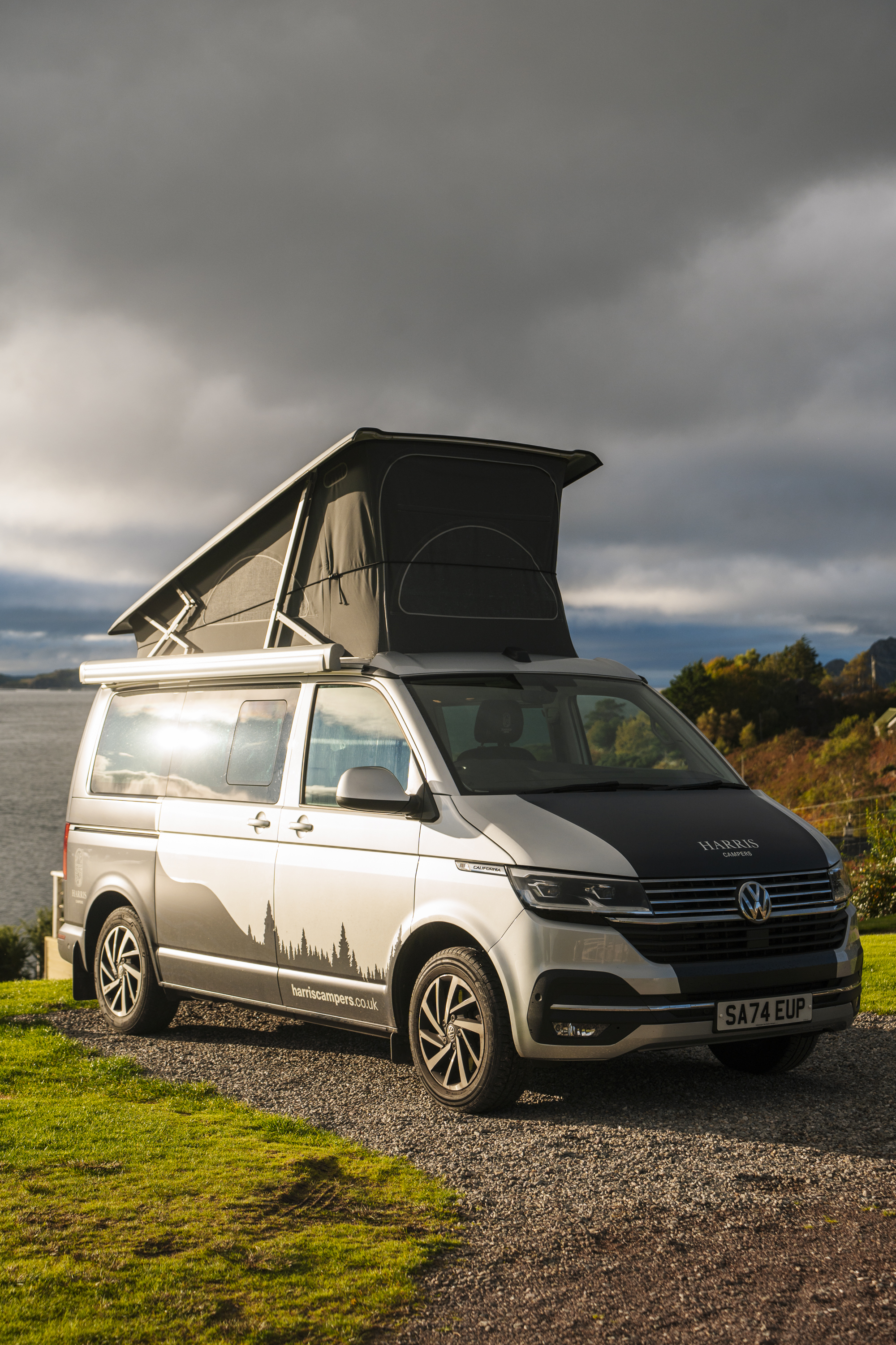
Getting there and getting a campervan. We flew into Glasgow and picked up our rental from Harris Campers, a local Scottish business with a small fleet of luxury, automatic VW campervans. A smaller, automatic van made a huge difference on the single-track roads on the west coast, and I can't say enough good things about the Harris Campers team.
Starting point. We spent a night in Glencoe on the way to Inverness, the official start of the NC500. It's a beautiful way to ease into the trip, and it breaks up the drive from Glasgow.
Direction. We drove the loop counter-clockwise and recommend you do the same. It saves the most dramatic scenery on the west coast for the second half of the trip, so the route builds as you go.
Where to sleep. Each night, we found a park-up through the Park4Night app. We also stayed at a couple of campsites we loved, which I've called out below. If you're not travelling via campervan, check out our 'Where To Stay Along The NC500' guide for all of our accommodation tips and recommendations.
If you want more detail on any individual stop, check out our full guide to the 21 best stops along the NC500.
The 7-Day NC500 Itinerary at a Glance
- Day 1:Dornoch to Wick (Dunrobin Castle, Whaligoe Steps)
- Day 2:Wick to Dunnet (castle ruins, Duncansby Stacks, John o' Groats)
- Day 3: North coast beaches to Durness (Smoo Cave, Sango Sands)
- Day 4: Down the west coast (Kylesku Bridge, Clashnessie Falls, Achmelvich, Clachtoll)
- Day 5: Waterfalls, castles, and a hike (Wailing Widow Falls, Ardvreck Castle)
- Day 6: Beach hopping to Torridon (Ullapool)
- Day 7:Torridon, Shieldaig, and Bealach na Ba
Where To Stay Along The NC500 (2026 Guide)
Click here for discounts and booking tips!Day 1: Dornoch to Wick


Day 1 covers the stops between Dornoch and Wick, and it's a great first day because there's so much to see without a lot of driving.
Start in Dornoch, a quaint seaside village that's perfect for grabbing a coffee and wandering around before you hit the road. If you get good weather for day 1, make sure to head down to Dornoch Beach as well. It's a 15-minute walk from the center of town, or you can drive over and park right at the beach.
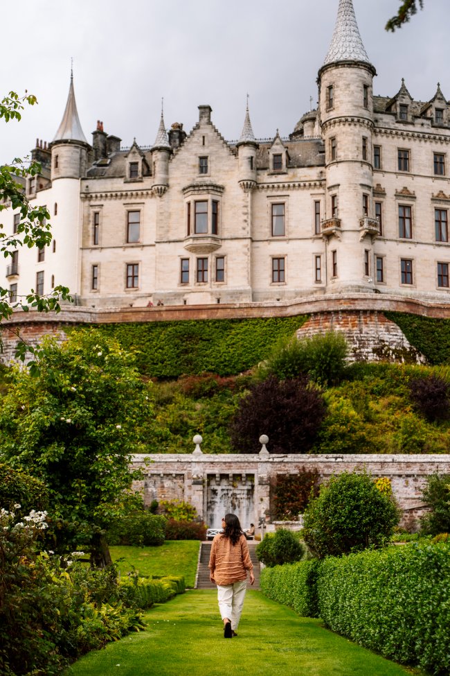
Then head to Dunrobin Castle, which looks more like a French chateau than a Scottish fortress, but it is still one of the most impressive castles along the NC500. We usually skip attractions with steep admission fees, but this one was worth the exception. The gardens were my favourite part, and the falcon show was way cooler than I expected. Check out our Dunrobin Castle Guide for more details about what to expect, what is included in the ticket price, and how to time your visit around the twice-daily falconry demonstrations.
Finish the day at the Whaligoe Steps, a staircase of 365 stone steps tucked into a cliff. It completely exceeded our expectations and was one of my favourite stops of the whole trip. Walk out to the viewpoint first for the best look at the cliffs, the steps, and the waterfall. Read our dedicated Whaligoe Steps Guide for a full rundown of where to park, what to expect, and where to go for the best angle for photos.
Stops today:Dornoch and Dornoch Beach, Dunrobin Castle, Whaligoe Steps
Where to Stay In Wick
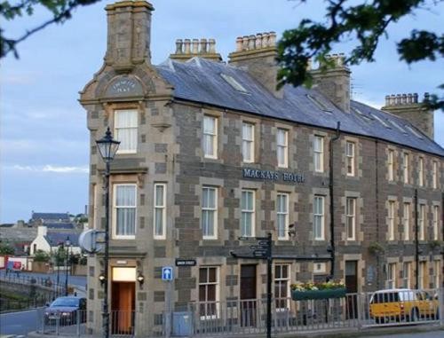
Mackays Hotel
Check Availability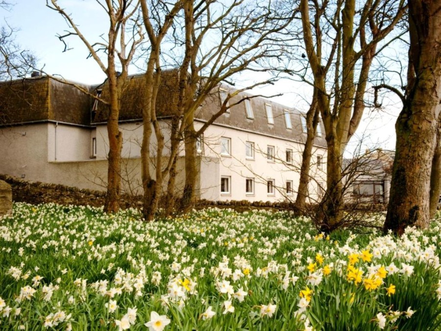
Norseman Hotel
Check Availability
Church View
Check Availability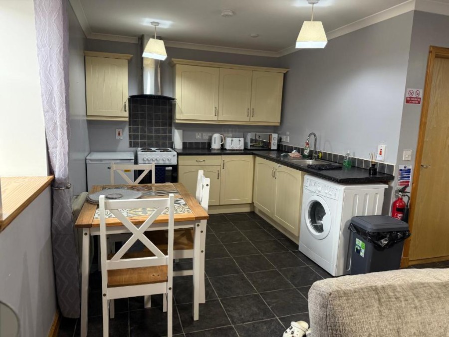
The Old Salt House
Check AvailabilityDay 2: Wick to Dunnet

Day 2 takes you to the northern part of the east coast, where you'll explore castle ruins and see some of the most unique sea stacks and dramatic landscapes of the trip.
We're starting today with 2 castles that are vastly different from our posh visit to Dunrobin yesterday. These are both crumbling ruins of castles, which I think is equally cool, just in a different way.
Castle Sinclair Girnigoe


Start the day at Castle Sinclair Girnigoe. Like many stops along the NC500, it sits at the end of a long single-track road, but this one is easy. The road is well maintained and oddly straight for Scotland, so you can see oncoming vehicles well in advance.
The castle is very much falling apart, but for me that's what made it so cool. It's perched right on the edge of a cliff by the sea, and by the looks of it, a good percentage of the original building has already tumbled in. You can walk inside some areas, while others are closed off for safety and to help preserve the structure.
- Cost: Free aside from an optional parking donation
- Time needed: About 1 hour
- Parking: Large unpaved lot, free with an optional £1 donation
- Bathroom: The nearest washroom is at the cafe nearby
There's an obvious walking path from the car park, through a field, and over to the castle by the sea. After rain, it can get extremely muddy, which was the case for us. We were slipping and sliding all the way there and all the way back, while also getting soaked by a sudden torrential downpour. But that's just the price of travelling in Scotland, and it was completely worth it for the chance to walk around those ruins. Wear boots with good grip.
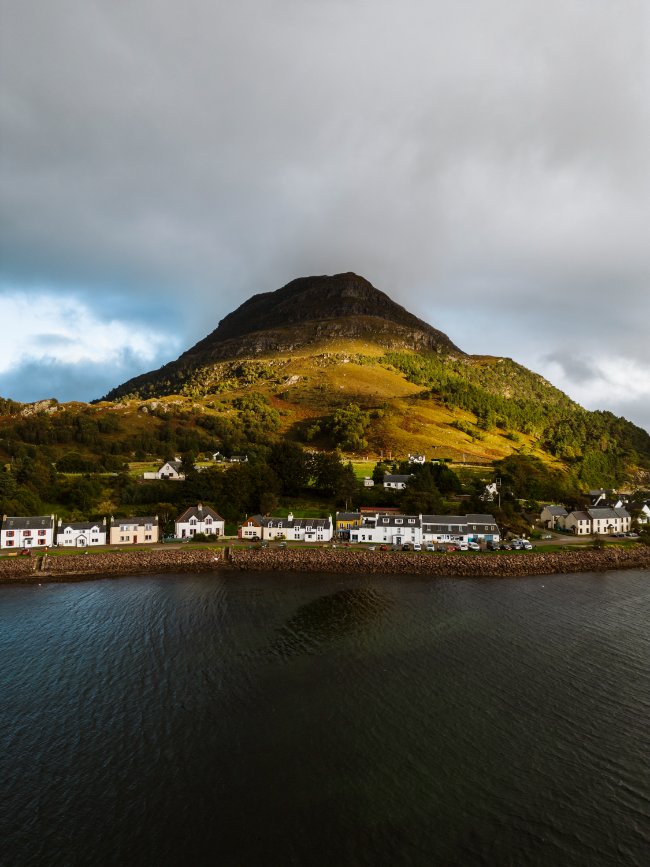
Old Keiss Castle

Next up is Old Keiss Castle. I thoroughly enjoyed it, but if you're struggling to fit everything into your itinerary, this is one of the first stops I'd cut. It's an awesome castle, but there are better ones along the route, and the parking and the walk-in aren't the most developed.
- Cost: Free
- Time needed: About 45 minutes
- Parking: Limited free parking near the harbour
- Bathroom: None
Finding the parking. Parking and access are a bit confusing. Google Maps might try to take you into a construction site or up some guy's laneway (it did for us), but don't follow it. Head to Keiss Harbour instead. It might seem like the wrong spot, but it's the correct place to park. There are no lines showing where to park, and the only reason I chose where to pull in was that there was already a BMW down there, so I lined up with it.
Getting to the trail. From the "parking lot" (if you can even call it that), head up the hill toward the row of small cottages that face out to the sea. Near the cottages, there's a gate you can open to access the trail. Close it behind you, because it keeps the sheep in. And now that you're in too, you're about to meet a few of them.
Sheep and dogs. There aren't always sheep here, but there often are, and there were when we visited in 2026. They mostly avoid you, so there's no need to worry. If you're travelling with a dog, though, keep them on a lead. The sheep are quite scared of dogs, and the farmers take what they call "sheep worrying" really seriously. Even if your dog is super well behaved, leash them up for this quick walk.
The walk. The route takes you through a grazing area along the sea toward the castle. There's kind of a trail at times, and at other times you're just walking through the field with the sheep. The terrain is flat and easy, but it can get a little muddy after rain. It was raining when we visited, and the mud wasn't too bad. We still wore our hiking boots, but it wasn't nearly as boggy as some of the other trails we did. Plan on 10 to 15 minutes each way.
The castle itself. You can't go inside, and since it's really falling apart, you wouldn't want to anyway. It also looks best from a bit of a distance. We didn't walk all the way up to it, since we were mostly there for photos, and it looked best from further back with a few sheep in the foreground.
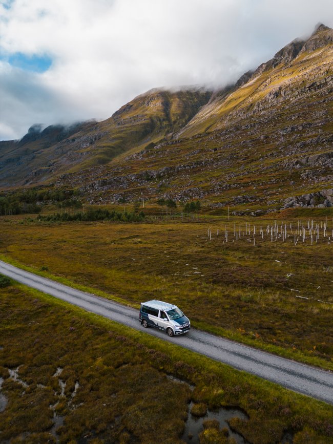
Duncansby Stacks


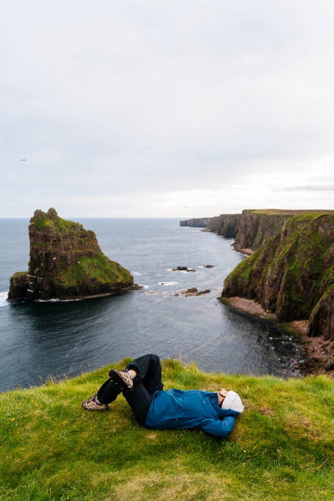
Next up is the highlight of the day: Duncansby Stacks. These sea stacks sit in such a perfect line that they look like a giant dropped them into place, and I was honestly more impressed here than at the Cliffs of Moher. Check out our dedicated Duncasby Stacks Guide for more details about the road in, the parking, the cliff walk, and where to go for the best photos.
Next, stop for the obligatory photo at the John o' Groats signpost (and use the washrooms, because this part of the route is a bit of a bathroom desert) before making your way to Dunnet Head, the most northerly point in Great Britain, with sheer cliffs that drop 300 feet into the sea below.
Be warned that it’s often very windy here. When we visited, it was so windy that a waterfall pouring off one of the cliffs only fell a few feet before being blown back upwards as a fine mist.
The lighthouse itself isn’t as picturesque as others around the country. It’s a working lighthouse with quite a lot of support buildings nearby. From the parking lot, there’s a short walk to a viewpoint, an odd little cement structure at the top of a small hill. From here you get 360-degree views down the coast and back across the headland.
The views are good, and the cliffs are cool, but it’s not as impressive as the coastline at the Duncansby Stacks. If you only have time for a few coastal stops like this, this is the one to skip.
It’s also a very popular spot for bird watching, and it’s most famous for its puffins. Other sightings may include fulmars, guillemots, kittiwakes, great skuas, arctic skuas, and razorbills, plus gannets and herring gulls out at sea.
Stops today: Castle Sinclair Girnigoe, Old Keiss Castle, Duncansby Head and Stacks, John o' Groats, Dunnet Head
Where To Stay In Dunnet
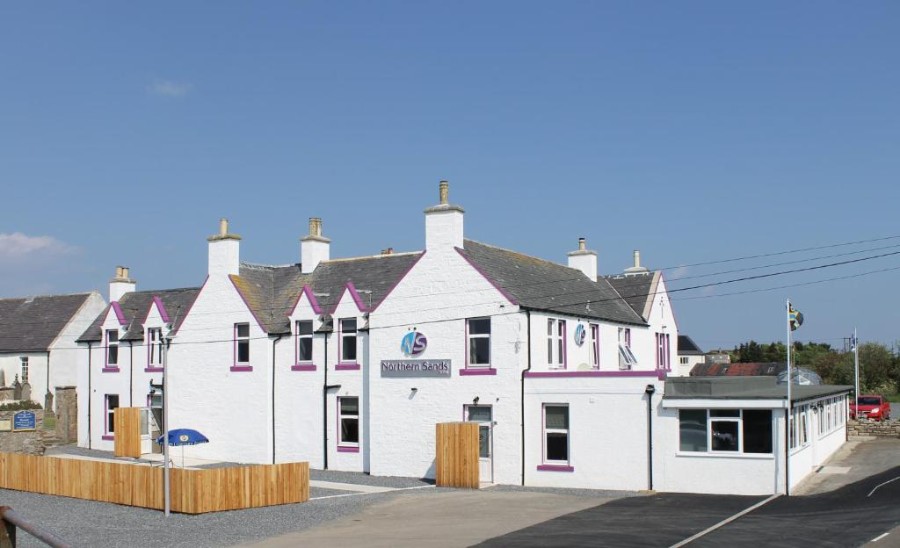
Northern Sands Hotel
Check Availability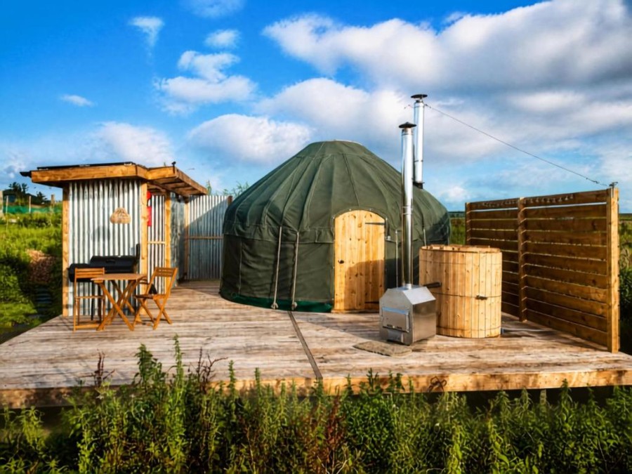
Off Grid Yurt
Check AvailabilityDay 3: Beach Hopping to Durness

Day 3 is all about the north coast. This stretch has several stunning white-sand beaches, but they're incredibly dependent on the weather. On a sunny day with no wind, these are some of the most beautiful beaches in the world, with wide stretches of white sand and calm turquoise water. If it weren't for the temperature of the water, you could squint and think you were in the Bahamas.
On a dull grey day the beaches don't pop in the same way, and when the wind is thrashing the coast, the water gets churned into a frothy mess that ruins the magic. If you get a sunny day with little or no wind, a beach-hopping day could be the highlight of your whole trip. If the weather isn't cooperating, or you just don't have time for every beach, here's how I'd prioritize them.
The North Coast Beaches, Ranked


1. Melvich Beach
If you're only making one beach stop, make it Melvich. Parking is free, and it's a short walk to the beach. You can walk along the huge dune that towers over the sand, or make your way down onto the big stretch of beach for a nice walk. I'd prioritize it because it's one of the easiest to get to, and having both options makes it a good fit for any type of traveller. It was cloudy and windy when we visited, so we didn't hang around long, but even in bad weather it was well worth the stop.
2. Strathy Beach
This is my second pick. You can park for free by the cemetery, and there's a free, well-maintained washroom right next to the parking lot. A mostly flat sandy path leads from the car park to the beach and takes about 5 minutes to walk.
The real selling point is the hidden sea caves at the east end of the beach, which you can only access at low tide. We arrived a bit late, when the tide was already coming back in, but we were able to stand on a big rock at the far end of the beach and sneak a look at the caves. At lower tides, you can walk right into them. We visited the same day as Melvich, so we had the same overcast weather and high winds rushing us along, but it's easy to see how stunning it would be to spend a longer time here on a nicer day.
3. Farr Beach
Farr is great, but it doesn't offer anything that Melvich or Strathy don't. It's a good spot for a long beach walk, and on a warm summer day it's a great place for a swim. On the windy, cloudy day we visited, there were just a few bundled-up couples out for a walk and a couple of dogs having a blast and not minding the weather at all. Parking is free, and a mostly flat, well-maintained footpath takes about 5 minutes to walk down to the beach. It's an easy addition to a beach-hopping day, but one of the last I'd prioritize.
Coffee in Tongue


After the beaches, stop in Tongue. It's a cute little town with not much more than a few hotels and a general store, but the real selling point for me was Alba Bakery. This farmhouse bakery serves amazing coffee and baked goods, and there's a little farm shop if you want to pick something up for the road. The town itself is another charming one along the route and worth a short walk around.
If you have the time and energy, there's also a great longer walk that starts in Tongue and heads up to Castle Varrich, a crumbling two-storey stone tower that looks over the village. The trail starts near the Ben Loyal Hotel and is 3.2 km round trip with 110 m of elevation gain. Plan on about 1.5 hours round trip. The castle itself is cool to see, though it's not the most impressive one along the NC500, but the views from the top of the hill are well worth the climb.
Smoo Cave and Durness

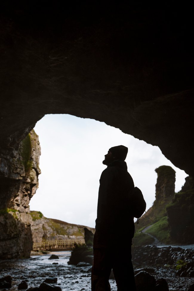
Then make your way to Durness to explore the iconic Smoo Cave, where you can see where all that Scottish rain actually goes. You can explore the main chamber and the viewing platform in the second chamber for free. Just be aware that after heavy rain or strong winds, the waterfall gets powerful enough to soak you in seconds.
Check out our dedicated Smoo Cave Guide for more details about visiting the caves, exploring the cliff walks nearby, and how/when the cave tours run.
If you have time and the weather is cooperating, Balnakeil Beach is just outside Durness and is one of the more impressive beaches in the area. The most popular trail here is the Faraid Head trail, which starts with a walk along the beach before heading up onto the cliffs. The winds were gusting at 40 mph when we visited, so we skipped the walk and hid at Cocoa Mountain, a cafe just down the road that's famous for its incredible hot chocolate. It was a great hot chocolate, and it sure beat being battered around by the wind.
Where to Stay In Durness
We stayed at Sango Sands campsite in Durness and highly recommend it. It was one of my favourites of the whole trip, with top-notch showers, washrooms, and dishwashing stations. A little stand opens in the morning, selling coffee and small breakfast items like sausage and bacon rolls. The best part is the campsite's own pub, which is spacious and welcoming, with a pool table, a full bar, and free wifi. It's full of campers getting a break from the constant wind and the endless tasks that camping demands.
Stops today: Melvich Beach, Strathy Beach, Farr Beach, Tongue and Alba Bakery, Castle Varrich (optional), Smoo Cave, Balnakeil Beach and Cocoa Mountain, Sango Sands campsite
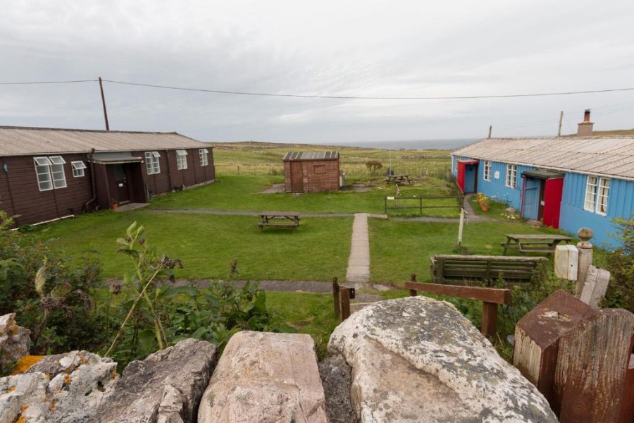
Durness Youth Hostel
Check Availability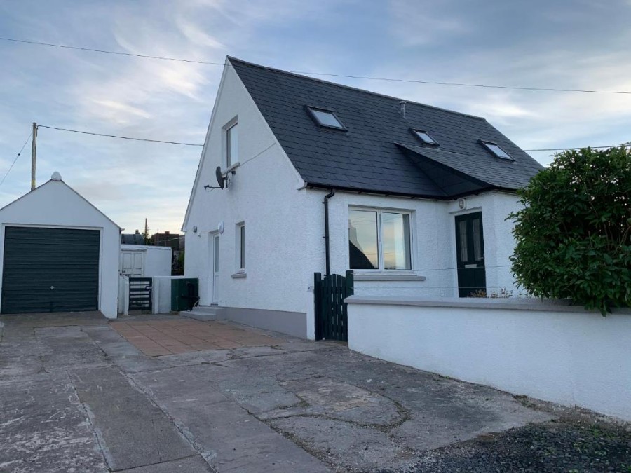
Wallaby’s
Check AvailabilityDay 4: Down the West Coast
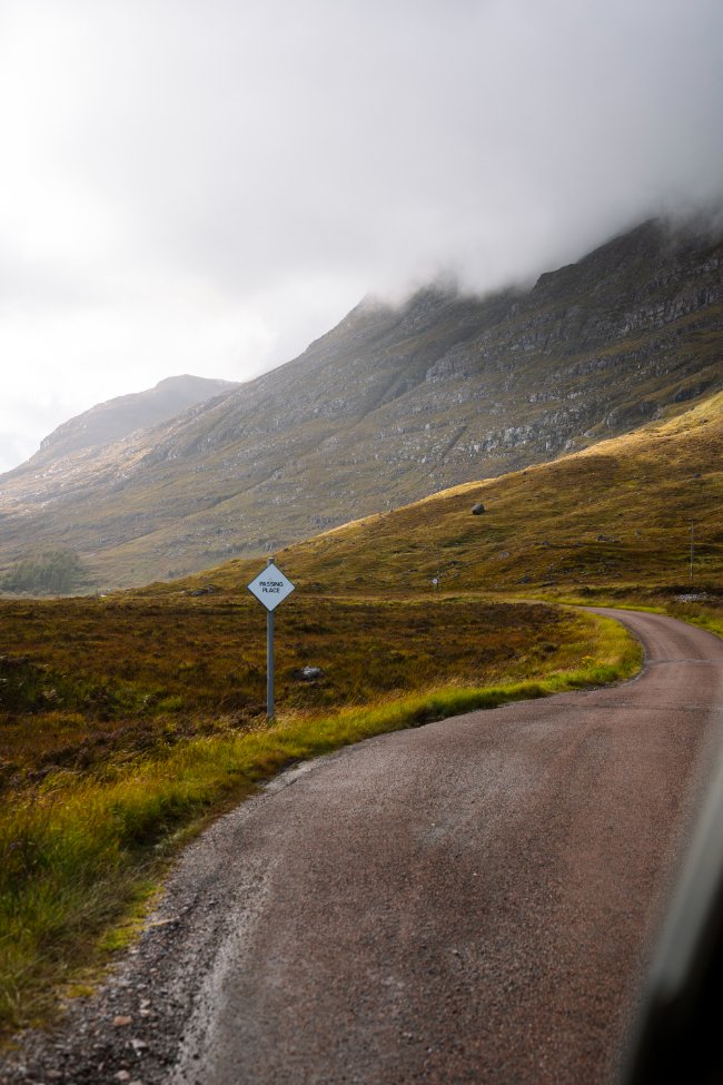
Day 4 is where you begin working your way down the west coast, and where you'll start to encounter more single-track roads. This is when we were really glad to have a smaller campervan. Take your time, use the passing places, and give yourself extra time for everything.
Kylesku Bridge

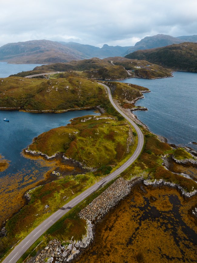
Start the day by crossing the iconic Kylesku Bridge, one of the coolest bridges you'll cross on the NC500. It spans nearly 400 feet of river and curves around in a way that looks honestly just super cool. It also makes for an easy stop.
There are free car parks on both the north and south ends of the bridge, but I'd pull into the one on the north side. It's bigger, and the views of the bridge are better from there. There isn't actually much to do except hop out and take a look at the huge bridge, but it's a beautiful area, so we parked the campervan for a while and made lunch and coffee. We spent about an hour, but you could easily make it a quick 10-minute photo stop.
- Cost: Free
- Time needed: 10 minutes (we spent about an hour)
- Parking: Free, large paved lot
- Bathroom: None
Clashnessie Falls


From the bridge, head on to Clashnessie Falls for a waterfall stop before you reach the beaches.
The trail begins here, in the shared car park for both the falls and the beach. Getting to the falls requires a short hike, but the trail is easy to follow, and the terrain isn't challenging. Round trip the trail is 3km, has about 60m of elevation gain, and it will take you about 1 hour if you stop for a bit at the waterfall.
Trail Map
The waterfall is massive and can have quite some force behind it if it's been raining, so it's well worth the short hike to reach it.
Achmelvich Beach

Next up is Achmelvich Beach, hands down my favourite beach on the entire NC500. It's at the end of 3 miles of single-track road with pretty poor visibility, but in my opinion it's 100% worth it. There's one main large beach, plus a collection of small sandy nooks scattered around the rocky coastline. We were lucky enough to be here on a sunny day with almost no wind, and it's still one of the best experiences we've had in all our time travelling around Scotland.
- Cost: £3 per vehicle
- Time needed: About 1 hour
- Parking: Large paved lot right next to the beach (map)
- Bathroom: Free public washrooms at the car park
Parking is paid between March 1st and October 31st, from 9am to 5pm:
- Up to 4 hours: £3
- Up to 6 hours: £4
- Up to 8 hours: £5
To get here, take the B869 single-track road, and fork left toward Achmelvich. If you're travelling by campervan, you can make the single-track road even more worth it by spending the night at the caravan park right next to the beach.
Clachtoll Beach
If you continue along the B869 instead of forking toward Achmelvich, you'll reach the little village of Clachtoll and its beach. It's another stunning white-sand beach surrounded by a rocky coastline, quite similar to Achmelvich.
Personally, I find Achmelvich a bit more impressive, but both are worth checking out. Clachtoll also has a really well-rated campsite, which makes it a great place to spend the night.
Parking is a bit more limited here. There's a small unpaved lot not far from the beach, and it can get pretty full in the summer. You're invited to pay for parking, which means you don't absolutely have to, but the payments help support local facilities and services:
- Up to 2 hours: £1
- Up to 4 hours: £2
- Up to 12 hours: £3
- Up to 24 hours: £5
Both beaches are beautiful, but they're not too different from the other white-sand beaches on this route. What makes this part of the coast stand out for me is the rolling rocky hills that cover the coastline. It's classic rugged Scottish beauty, and there's really no other part of the NC500 that looks quite like it.
Stops today: Kylesku Bridge, Clashnessie Falls, Achmelvich Beach, Clachtoll Beach

Day 5: Waterfalls, Castles, and a Hike

Start Day 5 at Wailing Widow Falls (Allt Chranaidh), one of the most impressive waterfalls in Scotland. It's a short but muddy walk to a 30-metre cascade pouring into a dramatic gorge. Wear waterproof boots, because there's no maintained trail.
Read our dedicated Wailing Widow Falls Guide for more details about where to park, the hike in, and when to visit.
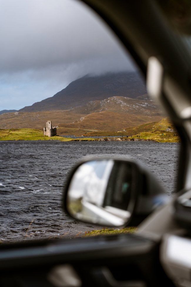
From there, continue south to Ardvreck Castle, my personal favourite of the crumbling castles on the route. It sits right on the edge of Loch Assynt and looks different depending on the water level.
This stretch also has some fantastic hikes, and we'd recommend choosing between two: the Bone Caves (a short, rewarding hike to four limestone caves, with a coffee stand at the trailhead) or Stac Pollaidh (a steeper, more challenging hike with incredible views).
Bone Caves


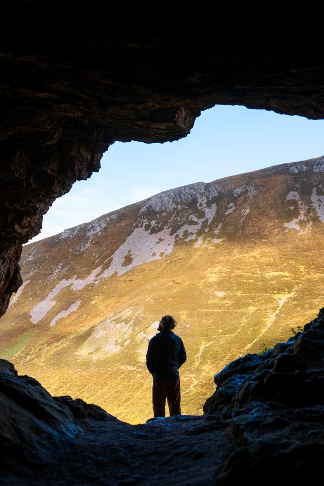
The Bone Caves are one of the best short hikes on the NC500. The trail climbs to four natural limestone caves with rolling Highland views in every direction, and there’s a coffee stand at the trailhead waiting for you when you get back down.
The caves are named for the bones and fossils found inside them, but don’t worry, there aren’t any left.
Do the loop counter-clockwise so you climb the steep section on the way up and come down the longer, gentler slope. The trail is well defined, but it gets very muddy after rain, so wear boots.
The caves are big enough to walk into, but they are just the size of a small room, so you won't be delving deep into the mountain or anything like that. The highlight of the caves for me was the photo opportunity. From inside the caves looking out, the mouth of the cave frames the mountains across the valley in a really cool way that will let you get an epic silhouetted hiking shot.
It's worth timing your visit around the coffee carts' hours. Sovi’s Coffee is open 11 am to 4 pm, Friday to Sunday, seasonally and weather permitting. It’s run by one person who posts changes to her hours on Instagram, so check there if the coffee is part of your plan.
Read our full guide to the Bone Caves and Sovi’s Coffee for parking, the hike, and what to do next.
Stac Pollaidh


This is a moderately challenging hike that is a great option for a serious mountain hike without too big a time commitment.
The hike is quite steep, climbing 455m over just a 4.3km loop. The terrain is pretty easy and alternates between rocky portions and well-maintained dirt paths. The main obstacle you might face is the wind. The trail goes in a loop around Stac Pollaidh mountain, meaning you're fully exposed the entire time.
When we did this hike, the wind was so bad that we met a few people on the trail who were turning back, since the wind got stronger and stronger as you curved around the mountain. We decided to keep going, and it was really windy, but we felt pretty safe since you're not really walking along any dangerous cliffs or anything.
We didn't do it as a loop; we went counterclockwise to the viewpoint and then turned back. We just did this because the wind whipping around the section past the viewpoint was so strong. Otherwise, we would have continued it as a loop.
The viewpoint is at the far end of the loop, making it a fun loop hike with the payoff at the midpoint. From here you get great views of Assynt to the north, the Summer Isles and Achiltibuie to the south and west, and the Isle of Skye to the east.
Because of how steep this trail is, I would only recommend it to people with some experience hiking. But if you hike at all, you probably won't find this trail too challenging, and the views are well worth the effort.
The trailhead is really easy to reach; just follow the GPS directions to Pollaidh Coffee & Bakes. There is a big dirt car park next to the cafe, and the trailhead is just across the road. There is also a washroom next to the car park if you need it.
Stops today: Wailing Widow Falls, Ardvreck Castle, and either the Bone Caves or Stac Pollaidh
Day 6: Beach Hopping to Torridon

Day 6 is another beach-hopping day, and it's a slower, more scenic one. The plan is simple: make a quick stop in Ullapool, then follow the coast down to Torridon, with time to slow down along the way. After a few big days of waterfalls and hiking, this is a nice day to soak in the coastline.
Ullapool
Make a quick stop in Ullapool to stretch your legs, grab a coffee or a bite, and restock before you head down the coast. We kept this one short, since the best of the day is still ahead of you.
Gruinard Bay

Gruinard Bay is one of the most beautiful and interesting stretches of coastline you'll find anywhere on the NC500, and it's a great place to slow down. The beach itself is gorgeous, but it's no more impressive than the other white-sand beaches on this route. What makes this place stand out for me is the rocky headlands that surround it. They look like miniature mountains: the bases are lush and mossy, and they slowly turn bare and rugged higher up, ending in rolling peaks of rock that look like wavy lava streams frozen in place millions of years ago.
- Cost: Free
- Time needed: About 30 minutes (longer if you stay for the evening)
- Parking: Large paved layby across the road from the beach that fits around 20 vehicles, with an optional donation
- Bathroom: None
You're invited to pay at the machine in the layby, which means payment isn't strictly required, but the money goes toward maintaining local facilities and services. You won't need more than 30 minutes to walk over to the beach and stroll around, but it's a gorgeous place to slow down and take it all in.
We had dinner here and a little campfire, and it ended up being one of the most memorable nights of our whole trip. You can't have a fire on the sand, but we carried down our portable metal firepit that suspends the wood above the beach, which is allowed. We stayed and watched the sun sink below the horizon. If you're travelling by campervan, this is a spot worth planning your evening around.
Torridon


From Gruinard Bay, continue down the coast to Torridon, where you'll spend the night before tomorrow's drive. It sets you up perfectly for Day 7, when you can wake up in Torridon or Shieldaig and explore the towns and viewpoints.
Stops today:Ullapool, Gruinard Bay, Torridon
Day 7: Torridon, Shieldaig, and Bealach na Ba

We'd argue this is the most beautiful day of the whole trip. Wake up in Torridon or Shieldaig and spend some time exploring the towns and taking in Torridon's roadside viewpoints. Shieldaig is the slightly larger of the two, and it's a great place for a pint or a meal by the sea.
Next, drive the gorgeous Shieldaig to Torridon coastal road before tackling the iconic Bealach na Ba (the Applecross Pass). It's a famous stretch of single track with tight hairpin bends and gradients up to 20%, so make sure you're comfortable behind the wheel. We did it in a small automatic camper, and it was actually pretty chill.
In the summer, you should have no issues with weather, aside from the occasional fog. When we went through the fog near the top of the pass was so dense we could only see in front of us a few feet. It was fine for driving, but we completely missed out on the iconic viewpoint.
If you visit outside of the summer, take extra care because the pass can be blocked by heavy snow and ice during winter. When this happens, they actually close down the whole road with gates at both ends.
The viewpoint is at the highest point of the pass, and it looks down to the narrow hairpin turns that wind their way down the other side of the pass and out into the valley. Or at least that's what I assume you would see; the fog was so bad when we were here that we barely even saw each other.
You won't need long for this stop since the view is just from the parking lot, but you may want to take a moment to appreciate the view and take a few deep breaths before taking on this final driving challenge of the trip.
Stops today: Torridon, Shieldaig, Shieldaig to Torridon coastal road, Bealach na Ba
Tips for Planning Your NC500 Itinerary

- Be flexible with the weather. It will shape your trip more than anything else. A beach that looks like the Bahamas on a calm day can be a frothy mess in the wind, so don't be afraid to swap stops around.
- Choose a smaller vehicle if you can. A compact, automatic campervan makes the single track roads and the Bealach na Ba much less stressful.
- Use Park4Night. It's how we found our park-ups each night, and it makes planning a lot easier.
- Keep cafes and pubs in your back pocket for the rainy hours. You'll need them.
- Wear waterproof boots. Almost every trail on this route gets muddy.
Final Thoughts

The NC500 has a lot of stops, but the journey and the driving views are definitely a huge part of what makes this route so memorable. Seven days isn't enough to see everything, but it's enough to get a great taste of the route and to fall in love with the north of Scotland.
If you're planning to do this route as a campervan trip (which we highly recommend, we can't say enough good things about Harris Campers. Their vans are built out perfectly, they are a great size for the single-track roads, and the team behind the company are great.
And if you want to dig into any of the stops on this itinerary in more detail, check out our full guide to the 21 best stops along the NC500, where we cover more in-depth information about how to make the most of each stop.
FAQ
How many days do you need for the NC500?
Should you drive the NC500 clockwise or counter-clockwise?
Can you do the NC500 in a campervan?
What is the best beach on the NC500?
Is the Bealach na Ba hard to drive?
Our Trusted Travel Partners
We only recommend products and services we personally use and trust.

SafetyWing
Travel medical insurance for nomads and remote workers
Booking.com
Find the best deals on hotels, apartments, and vacation rentals
AllTrails
Discover hiking trails with detailed maps and reviews
Surfshark
Secure VPN for safe browsing and accessing content worldwide
Get Your Guide
Find the best deals on tours and experiences
Airalo
Prepaid SIM cards for travelers
Trusted Housesitters
Find free accommodation by house and pet sitting worldwide
Wise
Send and receive money internationally with low fees* We may earn a commission when you make a purchase through our affiliate links, at no extra cost to you. We appreciate this support, which helps sustain our blog and allows us to create more content and help more great trips get planned!